📑 Table of Contents ▾
Zermatt travel guide covering Matterhorn views, Gornergrat railway, alpine hiking trails and the best season for clear mountain photography
Switzerland Zermatt Matterhorn: Hiking, Alpine Biking and the Gornergrat Railway
Zermatt exists because of the Matterhorn. This 4478-meter pyramid of granite and ice is the mountain that made mountaineering a sport and Switzerland a tourism destination. When Edward Whymper’s expedition became the first to summit the peak in 1865—followed by the tragic death of four members on the descent—the Matterhorn’s silhouette became globally iconic overnight. Today, Zermatt is a car-free village at the foot of that silhouette, and the experience of waking up in a hotel room with the Matterhorn as your window’s frame is still, 160 years later, the benchmark against which all alpine experiences are measured.
The Gornergrat Railway: Europe’s Highest Open-Air Railway
💡 Travel essential: Skip the SIM hunt at arrival — grab an Airalo eSIM covering 200+ countries with one-tap activation.
The Gornergrat Railway (Gornergratbahn) is the main event. Built in 1898, it climbs 1,469 meters over 33 minutes from Zermatt to the Gornergrat summit at 3,089 meters—making it the highest open-air railway in Europe. The cogwheel train is heated and has panoramic windows, but the real views are on the outdoor platform at the summit station.
At the top, the Matterhorn stands 6 kilometers away as the crow flies. But the number that matters is the 29—twenty-nine other peaks above 4,000 meters are visible from the Gornergrat platform, more than anywhere else in the Alps. On a clear morning, the panorama is the Alps compressed into one view.
The ideal experience: take the first train up at 6:04am (weekdays) or 7:04am (Sundays and holidays), arrive for sunrise at the summit, and have the platform almost entirely to yourself for the first hour. The light on the Matterhorn at sunrise—pale gold turning to rose and then to white—is the same light that made the mountain famous in 1865 and that still stops people in their tracks.
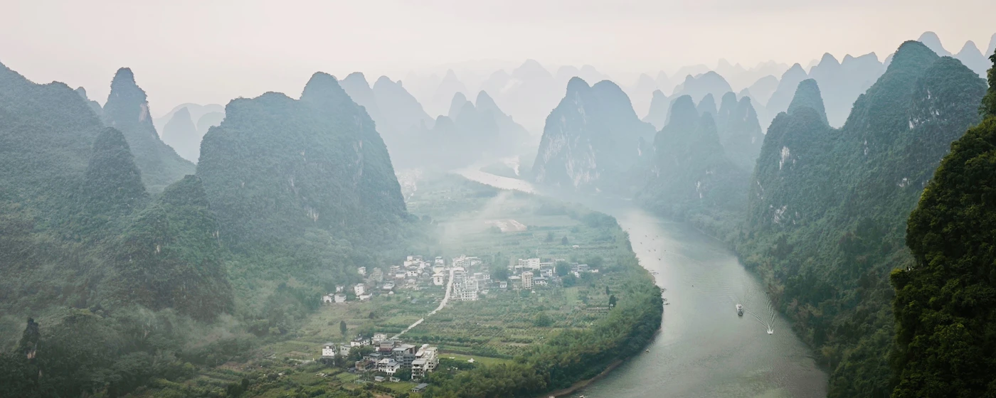
The descent can be broken at Riffelberg station (2,579m), where a network of summer hiking trails connects to the Riffelsee—a small lake that, on windless mornings, reflects the Matterhorn with perfect symmetry.
Hiking the Matterhorn Trail
The Matterhorn Trail (Matterhorn Golf Trail) is a 6.5-kilometer descent from Schwarzsee (2,583m) to Zermatt, following the eastern flank of the mountain. The trail offers Matterhorn views throughout, with each switchback revealing a slightly different perspective on the peak.
The trail is technical in parts—unpaved, steep in sections, exposed in others—but the difficulty is rewarded with views that the cable car crowds never see. Budget about 2.5 hours for the descent, 3.5 hours ascending.
The Five Lakes Walk above Zermatt (accessible by cable car to Sunnegga) is a gentler option—about 2.5 hours loop through alpine meadows with views of the Matterhorn reflected in five separate lakes. The Stellisee is the best reflection spot, best photographed early morning before the wind picks up.
When to Go: Weather and Seasons
Summer (June-September) is peak season—clearest skies, most accessible trails, longest daylight. August brings the most visitors but also the best chance of catching a clear Matterhorn; the mountain generates its own weather patterns, and afternoon thunderstorms are common.
Spring skiing at Zermatt extends into late May on the glacier areas, and the village retains its car-free character regardless of season. The Matterhorn is equally photogenic dusted in winter snow—arguably more so—but the hiking trails are inaccessible.
Autumn (late September-October) is underrated—fewer tourists, the larch trees on the Swiss side turn gold, and the light quality in October has a clarity that summer lacks. The only risk is earlier sunsets and the possibility of early snowfall closing some of the high trails.
Want to turn travel into a career? Join Travel Arbitrage Partners
✦ Recommended for This Article